Powerful 6.7 Magnitude Earthquake Strikes Peru
|
Getting your Trinity Audio player ready...
|
LIMA, PERU — November 21, 2026
A powerful magnitude 6.7 earthquake struck the central Andes region of Peru on Friday evening, shaking buildings and prompting residents to rush into the streets.
The earthquake occurred at approximately 7:09 pm local time on November 20, according to the United States Geological Survey (USGS).
Despite the strength of the earthquake, initial reports from Peruvian authorities indicated no immediate casualties or significant material damage.
The event has once again highlighted the seismic vulnerability of countries located along the Pacific Ring of Fire.
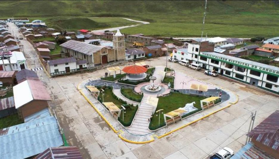
Where did the earthquake occur?
According to the USGS, the earthquake’s epicentre was approximately 34 kilometres north of Junín in central Peru.
The earthquake occurred at a depth of approximately 108 kilometres below the Earth’s surface.
Its shaking was felt in several areas, including Lima, the country’s capital.
Residents reportedly rushed out of buildings and homes as the ground began shaking.
The earthquake was initially reported at a higher magnitude before being revised to 6.7 in the USGS data.
No immediate casualties or significant damage
Peru’s Geophysical Institute and local authorities reported that there were no immediate reports of casualties or major structural damage.
Abdel Vega, the mayor of Carhuamayo, a municipality near the earthquake’s epicentral region, also indicated that no victims or significant material damage had been reported.
The earthquake was nevertheless strong enough to cause concern among residents.
Emergency monitoring authorities continued assessing the situation following the tremor.
The US National Tsunami Warning Center also indicated that there was no tsunami threat associated with the earthquake.
Why does Peru experience powerful earthquakes?
Peru is located along the Pacific Ring of Fire, one of the world’s most seismically active regions.
The Ring of Fire is an extensive geological zone surrounding much of the Pacific Ocean.
It is characterised by frequent earthquakes, volcanic activity and tectonic plate movements.
Peru’s geographical position makes it particularly vulnerable to earthquakes caused by interactions between tectonic plates.
The Nazca Plate moves beneath the South American Plate in a process known as subduction.
This geological activity generates pressure beneath the Earth’s surface. When accumulated pressure is released, earthquakes can occur.
Previous earthquakes raise concerns
The latest earthquake comes after other significant seismic events in the region.
A magnitude 6.7 earthquake in the Peruvian Andes in August reportedly injured two people and damaged homes, healthcare centres and schools.
Another magnitude 5.5 earthquake in the Junín region in July resulted in six deaths and approximately 30 injuries.
These earlier incidents demonstrate the importance of earthquake preparedness, particularly in communities located near active geological fault systems.
What are authorities monitoring now?
Following the earthquake, emergency authorities are expected to continue monitoring affected areas for possible structural damage and secondary hazards.
Important priorities include:
- Inspecting buildings and public infrastructure.
- Checking roads and transportation networks.
- Monitoring possible aftershocks.
- Ensuring emergency services remain prepared.
- Providing accurate safety information to residents.
Although authorities initially reported no major damage, they must continue assessments because the full impact of an earthquake may take time to determine.
International significance
The earthquake is an important reminder that natural disasters can affect communities with little warning.
Countries along the Pacific Ring of Fire need strong building regulations, early-warning systems, and effective emergency response mechanisms.
International cooperation in earthquake monitoring and disaster preparedness remains essential for reducing the impact of future seismic events.